Services
Consulting Services
GIS+ provide professional consulting services to help institutions and companies in different sectors to use the power of geospatial data for better planning, analysis, data visualization, and decision making. Our consulting services include geospatial systems design and analysis, enterprise spatial databases design, publishing GIS data data via Restful APIs, building client applications and other geo-services.


Web & Mobile GIS Solutions
Web and mobile mapping applications are the link between the spatial information system and the end user; GISPlus offers efficient and easy to use applications customized for desktop and mobile devices, these applications are built with several platforms like the Geocortex Essentials, GeoGATE, WebApp Builder for ArcGIS, and Collector.
Digital Photgrammetry
GIS+ specialized team of cartographers and photogrammetrists with excellent experience in handling all the steps of aerial photography preparation like: Building photogrammetry projects, processing of row aerial photos, aerial triangulation, DEM/DTM extraction, contour derivation, 3D Mesh processing, stereoscopic feature extraction, and orthophotos generation and mosaicking.
GIS Data Collection & Extraction (Digitalization)
GIS+ provides multiple solutions at the data level; this includes manufacturing of data by digitizing from existing printed maps, aerial photos, or non-vector formats. Furthermore, GISPlus staff is experienced in data extraction from photogrammetry projects, and 3D spatial digitizing.
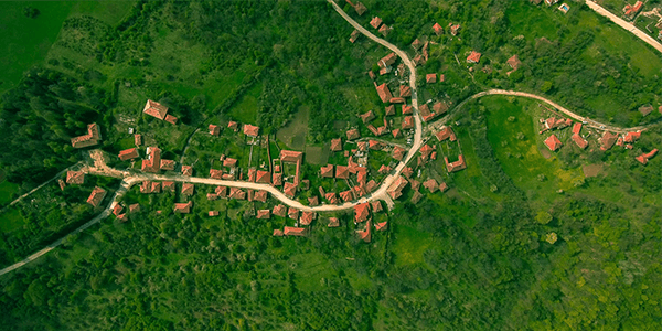
Drone Mapping
GIS+offers services in all drone mapping stages using fixed wing and rotary drones from flight planning, drone photography, imagery processing, georeferencing, aerial triangulation, 3D mesh extraction, 3D models, DEM / DTM processing, orthophotos extractions, and any other deliverables.

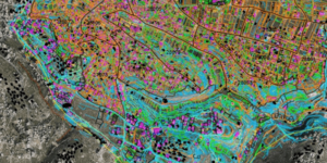
Geospatial Analysis
One of the main uses of GIS technology is performing analysis on spatial and non-spatial data to support decision making; GIS+ team consists of many experts and engineers who are capable to handle various GIS studies with all its related components including but not limited to: Geodemographic / Census analysis, Hydrology, Location Allocation, and much more types of analysis.
Capacity Building & Training
GIS+ has certified trainers who are able to conduct multiple training courses in GIS, GPS, RS, surveying and photogrammetry. Hands-on approach is what makes our trainings more beneficial. On-job training courses are also offered by GIS+. Our training courses cover multiple software packages including commercial and opensource software.


Systems Integration
Like all enterprise systems, GIS systems need to be integrated with other systems in order to exchange data in real time to ensure better decision makings. GIS+ software engineers have the ability to analyze different systems to integrate it with GIS environment using different integration links like Restful APIs and database linked servers.
Data Conversion
GIS+ team has a long experience in projects focused on converting spatial data from several formats to GIS data like converting CAD drawings, Excel sheets, and rasters into shapefiles, feature classes, and geopackages using powerful conversion engines like FME safe software.


Custom Tools Development
Automation has revolutionized all the processes around the world and obviously, this trend has strongly penetrated the way software programs’ are made. GIS+ has developed many custom web and mobile based tools for different clients to empower them with the techniques they need in their daily workflows like custom data conversion tools, custom search tools, and custom data integration tools.
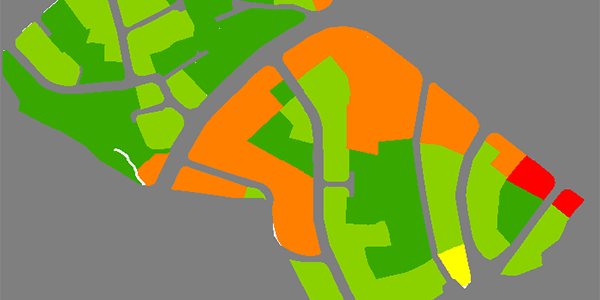
Professional Maps Production
Maps translate the data to information and it is the best language to interpret the reality. GIS+ team includes cartographers specialized in the production and designing of maps through all the stages including, georeferencing, digitizing, layers overlaying, symbology, setting scale dependencies, labeling, and assigning main map components.