
Ramallah · 31.92° N, 35.21° E · Est. 2014
We map what you manage.
GIS+ builds web GIS platforms, flies photogrammetry missions, and turns raw spatial data into systems that municipalities, utilities, and international organizations run on every day.
Delivered for tens of apps for organizations in public and private sectors
What we do
Four layers, one spatial practice
Platforms & development
Web and mobile GIS applications that put your spatial data in front of the people who need it — in the office and in the field.
Aerial & photogrammetry
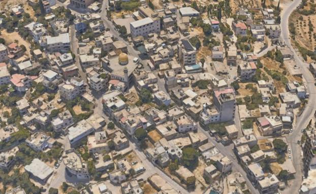
From flight plan to orthophoto — survey-grade aerial mapping delivered end to end, down to 3 cm resolution.
Data & analysis
Scattered records become decision-ready layers: digitized, converted, analyzed, and mapped.
Advisory & training
Independent geospatial consulting, and certified trainers who build your team's capacity to run it all yourselves.
Field log
- Founded in Ramallah — a dozen years in the field
- 2014
- Projects Completed
- +100
- Municipalities and communities mapped
- 80+
- Surveyed from the air with full feature extraction, down to 3 cm resolution
- 1000+ km²
Selected work
Systems in daily use, from city hall to the field
Live view
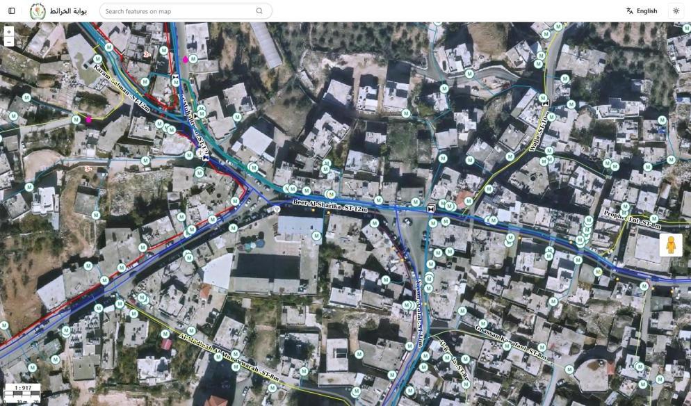
Bani Naim Municipal GIS System
Water meters & leakage points · electricity network · 40+ layers
Live view
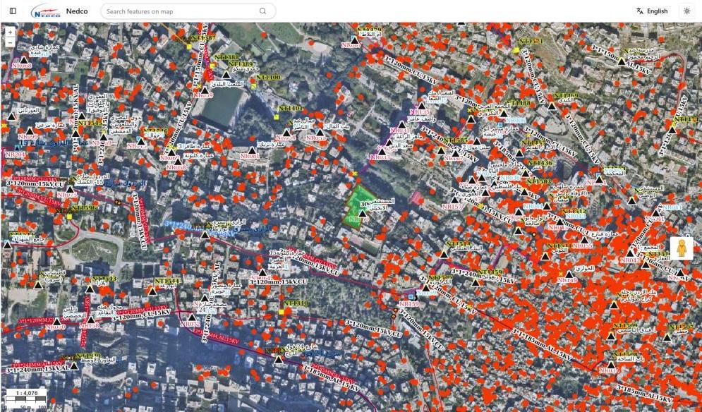
NEDCO Electricity Network GIS
Transformers, poles & overhead lines · 70+ layers & datasets
Live view
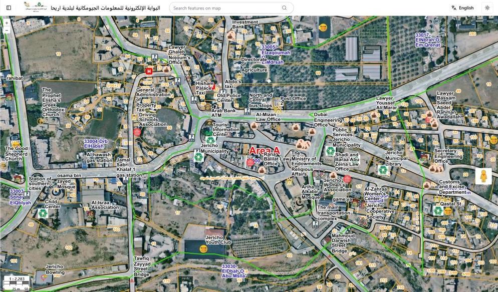
Jericho Municipal GIS System
Cadastre · water subscriptions · roads · 100+ layers
Products
A dozen years of delivery, packaged
Running live at 10+ organizations today
Trusted by
- World Bank

- Enabel

- Taawon

- GIZ

- Bethlehem Municipality

- Jericho Municipality

- NEDCO

- Bireh Municipality

- Yatta Municipality

- Sanad

Also serving World Bank · NGO Development Center · Hi Express Logistics · Palestinian National Economic Empowerment Institution · Secours Islamique France · Al-Quds University (Abu Dis) · Ministry of Agriculture · Palestinian Farmers Union
Next step
Tell us what you manage. We’ll map the way there.
A short conversation is enough to scope a pilot — a web portal, a flight plan, or a data audit.