
Platforms built from everything we've delivered
Everything we learned building custom systems for municipalities and agencies, packaged into platforms we install, configure, and support.
MV · Integrated GIS platform
MegaVertex
Live at 10+ organizations today
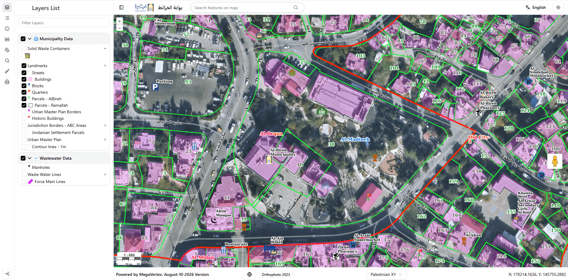
One platform for your organization's entire spatial estate. MegaVertex brings the geodatabase, the map services, and the people who use them into a single integrated environment — publish, edit, analyze, and share without moving data between tools.
- Web portal with map viewing, querying, reporting, and printing
- Centralized spatial database with role-based access
- Editing workflows for office and field teams
- Built on a proven open-source stack — no per-seat license fees
CG · Integrated municipal management
CityGraph
Live at 8+ organizations today
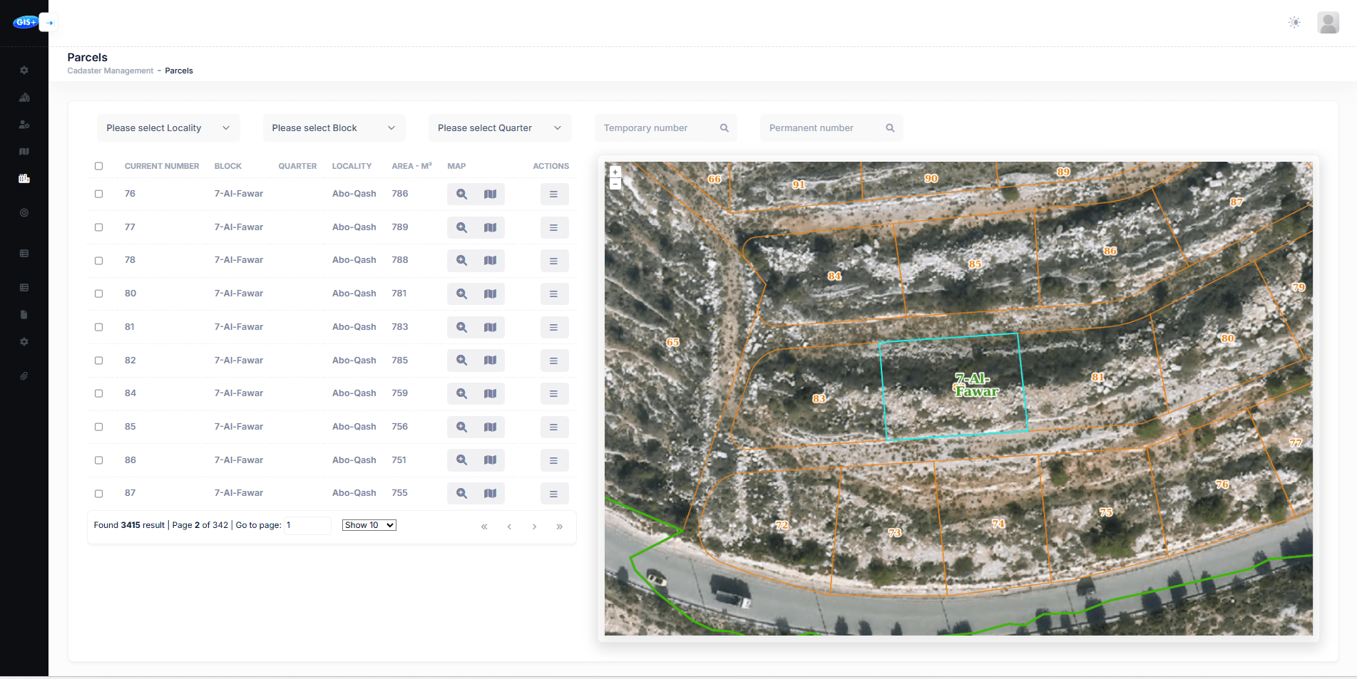
A solution dedicated to running a municipality on the map. CityGraph links parcels, buildings, infrastructure, and the tabular records behind them — so the daily work of municipal officers happens in one place instead of five.
- Parcels, buildings, quarters, and blocks managed on the map
- Cadastre, customer, and urban-planning modules
- Integrates with financial and licensing systems via REST APIs
- Designed for officers with minimal GIS experience
On screen
The platforms, at the officer’s desk
Need more info?